


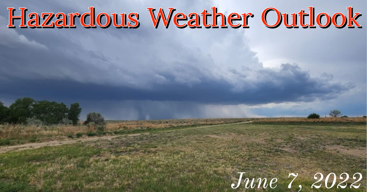
NWS of Pueblo: Hazardous Weather Outlook for June 7, 2022
Description: Hail up to the size of baseballs, and wind gusts up to around 70 mph will be the primary storm risks between 2 PM and 10 PM, with thunderstorms evolving into one or two thunderstorm clusters across the far southeast plains this evening.
National Weather Service Office of Pueblo Hazardous Weather Outlook June 7, 2022
426 AM MDT Tue Jun 7 2022
This hazardous weather outlook is for portions of central...east central...south central and southeast Colorado.
.DAY ONE...Today and Tonight Isolated to scattered severe thunderstorms will be possible across the southeast plains today with the greatest risk for severe thunderstorms along and east of I-25.
Hail up to the size of baseballs, and wind gusts up to around 70 mph will be the primary storm risks between 2 PM and 10 PM, with thunderstorms evolving into one or two thunderstorm clusters across the far southeast plains this evening. An isolated tornado will be possible, especially in the vicinity of the Palmer Divide and Raton Ridge.
Near critical fire weather conditions will be possible across portions of the San Luis Valley and upper Arkansas River Valley in Chaffee county this afternoon and early evening due to gusty winds and low relative humidity. However these conditions are expected to remain brief and localized.
.DAYS TWO THROUGH SEVEN...Wednesday through Monday Isolated to scattered afternoon and evening thunderstorms are possible across the eastern mountains and plains for Wednesday through Sunday. A couple of storms could be strong to severe Wednesday and Thursday.
The main hazards with those storms would be cloud to ground lightning, large hail up to 1 inch, and strong winds up to 60 mph.
Critical Fire Weather conditions are possible across portions of the San Luis Valley Friday, and then more widespread across southern Colorado Sunday and Monday.
.SPOTTER INFORMATION STATEMENT... Weather conditions that meet reporting criteria for spotters will be likely over portions of the region.
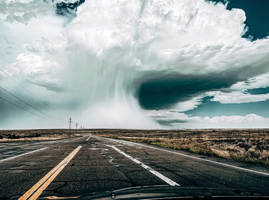
(Photo Credit: Alexis Greene)
June 6, 2022 Thunderstorm Photo & Video Gallery
Follow SECO Weather on Facebook.